
In attempts to document the Waterton Glacier Lake Jumping Project I have purchased the Olympus OMD EM5.
It is the most high tech Micro Four Thirds camera that Olympus makes. It might very well be the lightest, most powerful and versatile camera ever made. Or at least from my perspective.

I needed a camera that has
- Multiple quality but compact interchangeable lenses,
- A large sensor,
- HD video
- Super durable exterior and hopefully weather resistant
- Small enough to take on a multiple day off trail mountaineering adventure.
- I wanted the quality of a good DSLR but the size of a large point and shoot.
Enter the Olympus OMD EM5.
Until now to photograph extreme outdoor adventure either meant being bound to a sub par point and shoot camera or being burdened by the size and weight of a good DSLR.

When I tried to transition over to a DSLR, I realized that it would both hold me back with its unwieldy size and rob me of the opportunity to access it quickly and keep moving.
To be opportunistic when hiking, I like to keep my camera in a case that I strap to the shoulder strap of my backpack. This allows me to take the camera out, capture the shot I want and not lose time. Photographs or not, I’m often in a race with daylight. I can’t afford to stop, remove my pack, get my DSLR out, etc…
This new super camera had to be powerful and it had to be small!!
 I got my new EM5 two days ago and I LOVE IT! It’s amazing! I believe it’s the exact camera that I was looking for. Luckily I was looking now and not a few years ago. Welcome to 2012.
So, the photos that you will be seeing in the blog/stories will be taken with the OMD EM5 if the post happens from this point on…June 3rd, 2012.
I have the luxury to test out one of the most technologically advanced cameras in history in one of the most amazing places on earth.
 Many photography bloggers are super excited about the technological powerhouse aspects of the EM5. Most of these people would also celebrate the small stature of the camera, but they will still be using it in a studio or whatever setting they normally photograph.
I trust most EM5 users can’t truly take advantage of the small size of the camera as much as I can. I will drag it up one mountain, down another and through the woods to Grandma’s house. I am going to put it through its paces with stills and video. Let’s find out what they baby can produce.
So keep stopping by here at www.glacierexplorer.com to see what this brand new tech marvel can do in wild Montana!

Wolf Tracks and Burts Bees


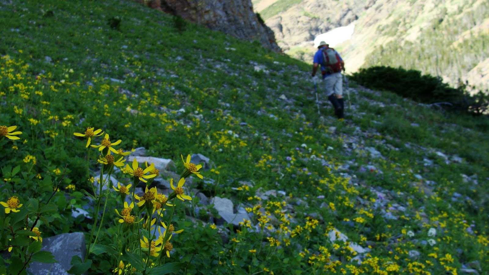


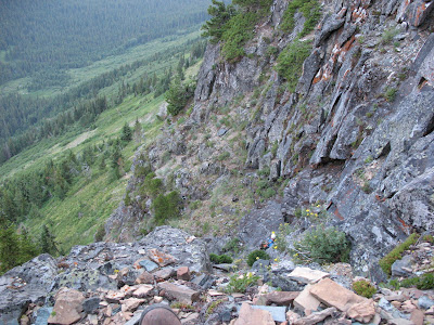
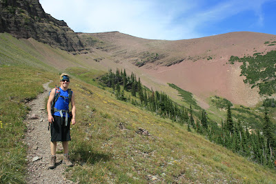
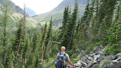
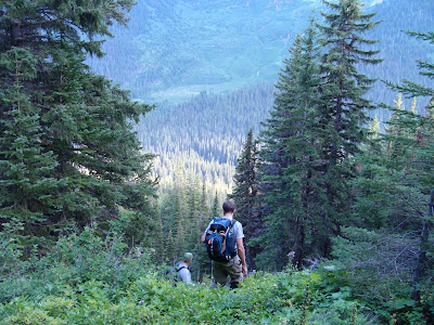
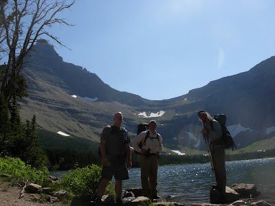
 We had to drop off of this ridge and work our way through some cliff bands, steep grass and flower filled slopes to get to the lake.
 We made our way along a huge bench above the lake and then down broken cliff bands and grassy slopes down to the lake.

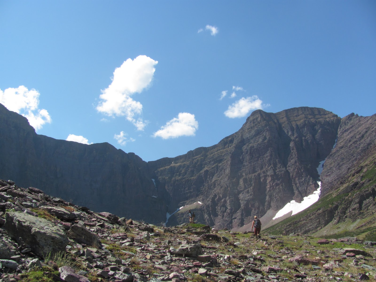
 This would have been impossible if the storms moved in on us. This is one of the highest elevation lakes in the whole park.


 The light softening the colors on the peaks we were surrounded by.


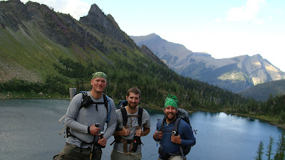
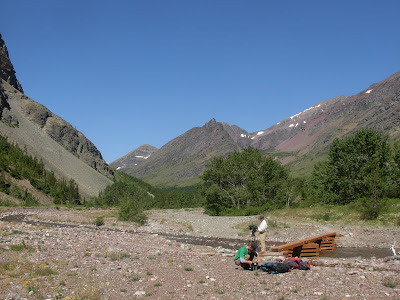
 We were able to keep tradition going once again with an awesome day in late August.We completed a feat that I have only had success with once before. We got five lakes in one day. It takes putting a large effort in, but more so it takes a cluster of lakes to be able to pull that off.
 After it we walked the outlet creek to the middle lake.
 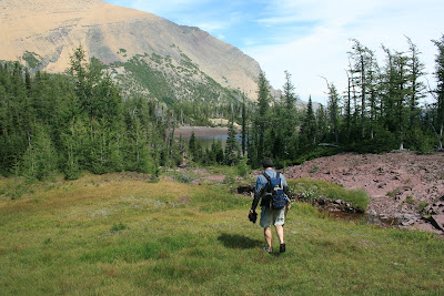 What a lovely day for a bunch of dips.
  This would have been a brutal one if it were nasty weather. Five lakes would get terribly chilly going at it in the rain.There is a nice goat trail that connects the Upper Rowe lakes trail with the upper reaches of the Rowe valley trail. It was nice because we did not have to drop that whole way back into the valley bottom.
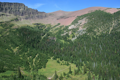


 It did work though..
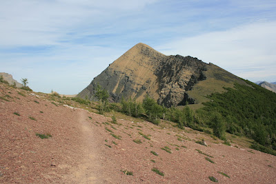
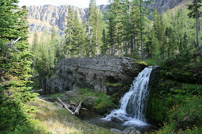
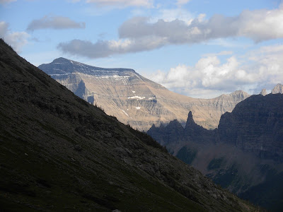
 It was right above the cliffs that drain the hanging basin. They drop off into Linham Falls.
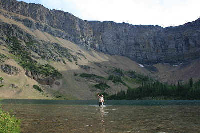

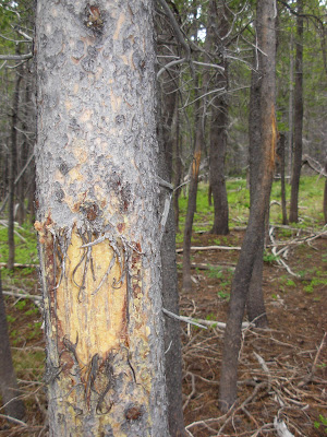
 Somewhere through the evolutionary process of most animals,. they found out that “four legs good, two legs bad” is a valuable thing to keep in mind.
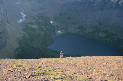
 We got out about 30 minutes after dark. Never great, but it is so much better when it’s dark and your on trail. Dark when your off trail is “No Bueno”!!!
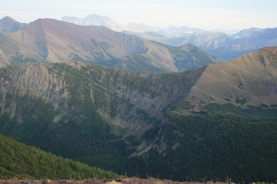


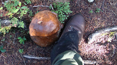
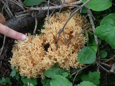
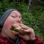
 For anyone who knows about this delicacy, you understand how happy I was to have a communal chili feed in the middle of nowhere.
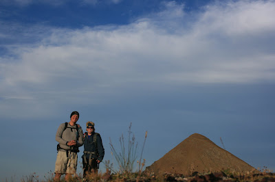
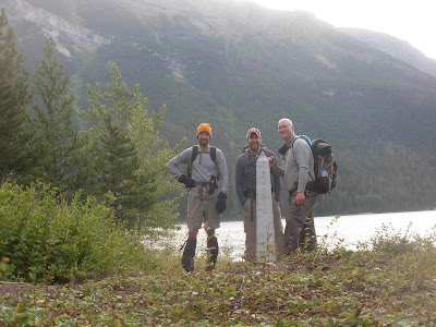 We said hello to the obelisk that marks the border and we headed west three and a half miles till we saw an entrance to a heavily wooded side valley that no one I have ever met has gone up.
 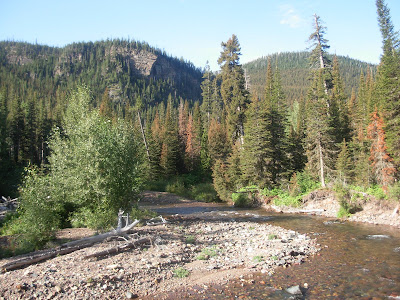 I’m sure its happened, but boy oh boy… would it be few and far between.
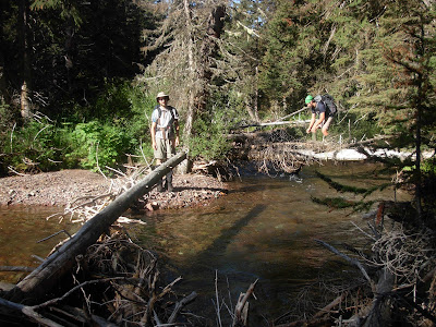 Then into the guts we go.
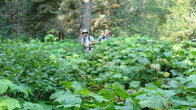
 That always ends and gives way to a thick tree filled mess.
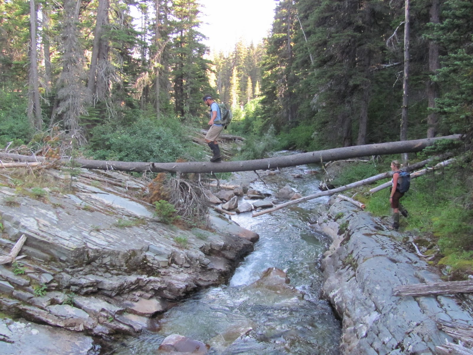
 Shortly after crossing it, we finally came to the first of our objectives.
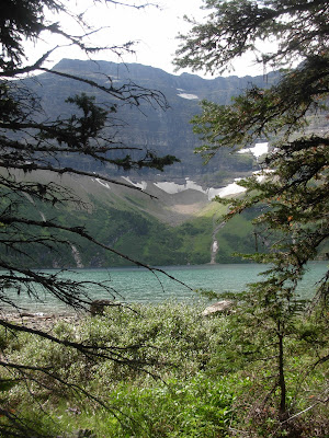

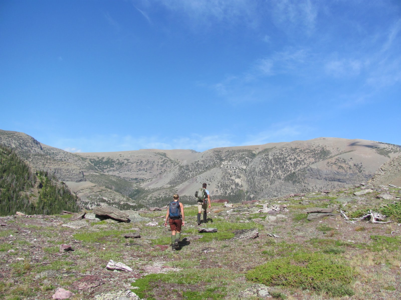
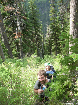
 We were essentially going from one main valley to the next, but over, under and through the middle of nowhere.
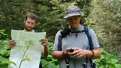
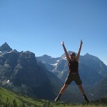
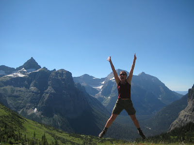
 No jumping pics.
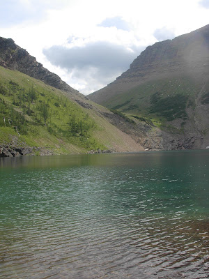
 Man that thing is nice.
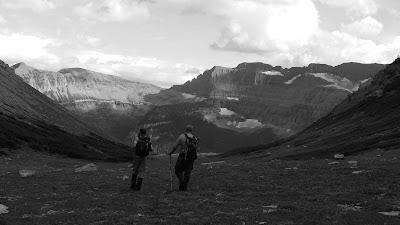


 By nightfall it was as if there were no mountains.
  Only rolling forested hills could still be seen though the white misty haze.


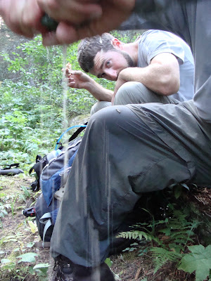
 It has been a bizarrely wet season. We have had over three times the normal amount of precipitation.

 In the plains they may just mow a separation.
 So, since Glacier and Waterton are on the border, there is a boundary swath running east/west and separating the park the whole way.
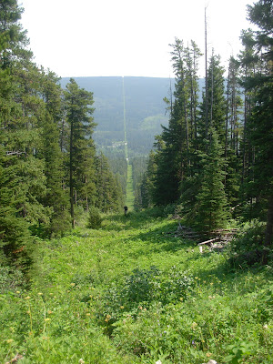

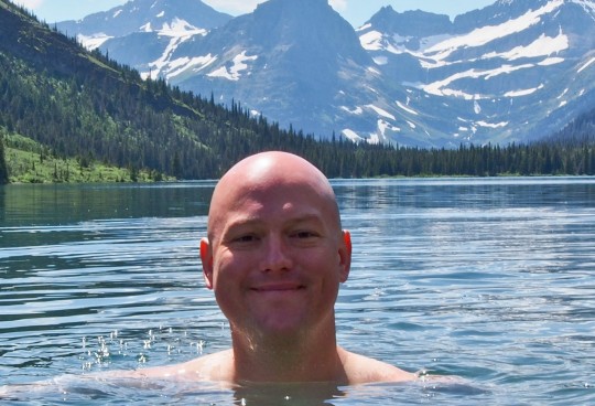
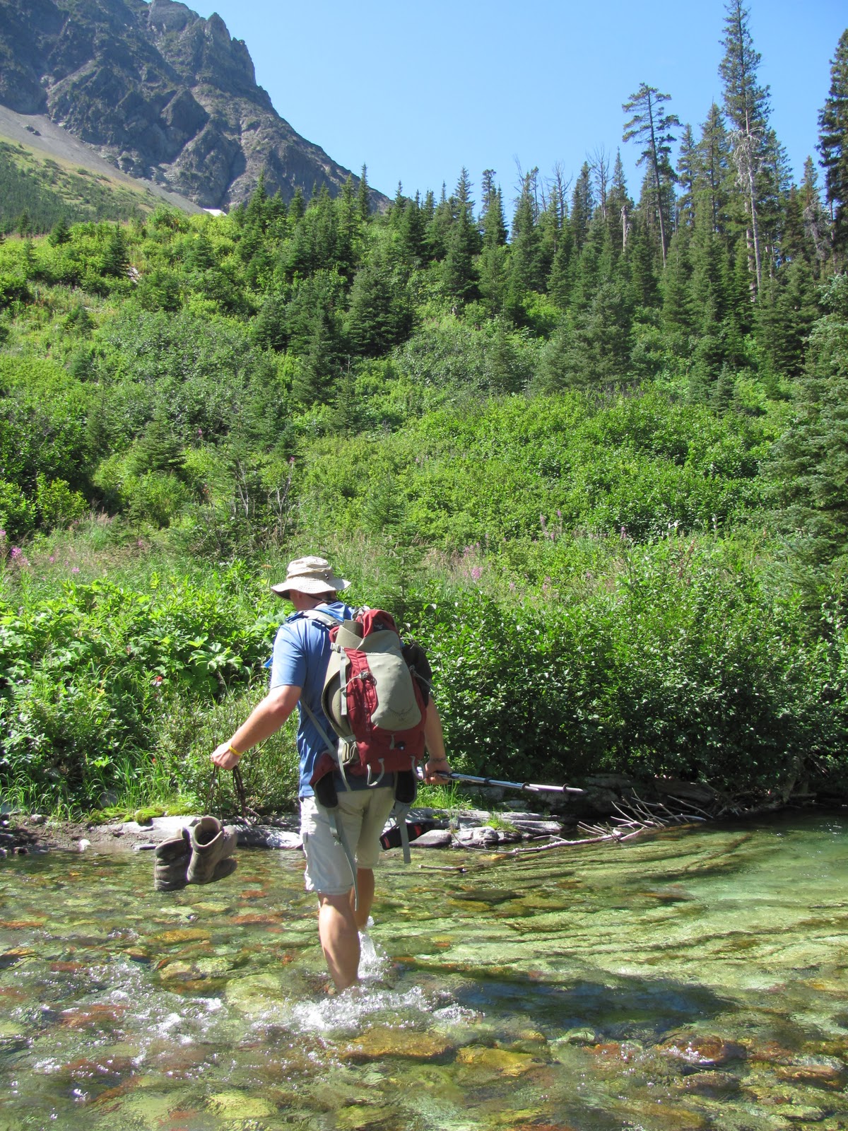
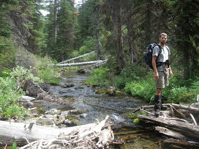
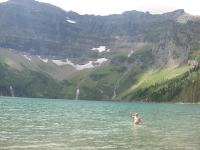
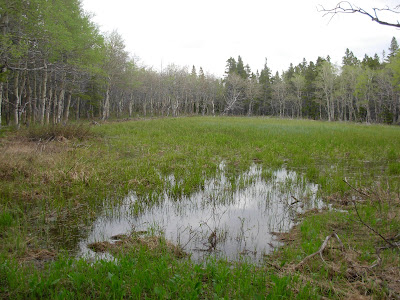
 The water is low enough now that it is safe. Earlier in the summer it would have been terrifying.
 Note* This was not the swamp, it was the swamp after it that we could walk around. I have no pic of the awful boundary swamp. I am sorry.*
 Odd feeling, for sure.
 I was surprised because many of the small, forested lakes are really not too pleasant.


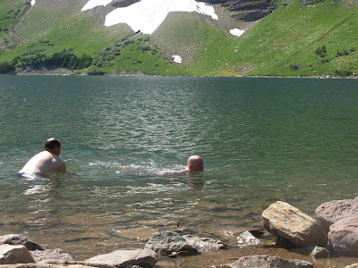
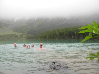
 They even submerged themselves with an underwater camera and had me swim over them and swim at them. Crazy. I still can’t believe that this happened. Know?
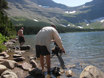 Getting out, getting back in. Getting back out again.
 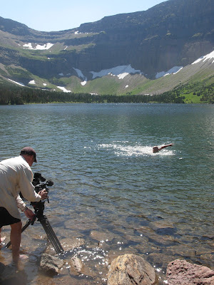 Swimming back
 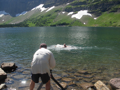 and forth and
 back again.

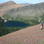
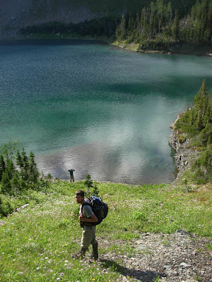
 It is the Winona and Green Lakes of the project that are my arch nemesis.
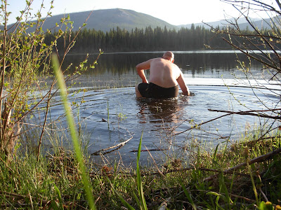
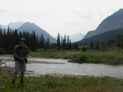
 The trail leads out of the Bowman Lake valley.
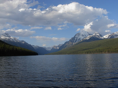 It was a perfect day, warm, clear and free of snow. The weather this May and June so far has been amazing. It was certainly one of those choice days.
 It is on a remote road in the northwest corner of the park.
  Its name used to be Mud Lake and I suppose the “powers that be” thought that was a bit unflattering.
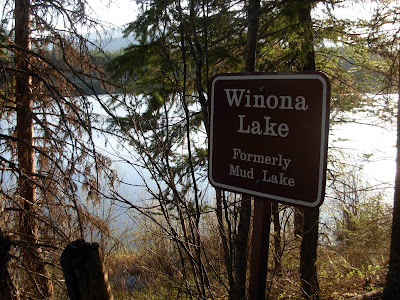 So, a while back it became Winona Lake.
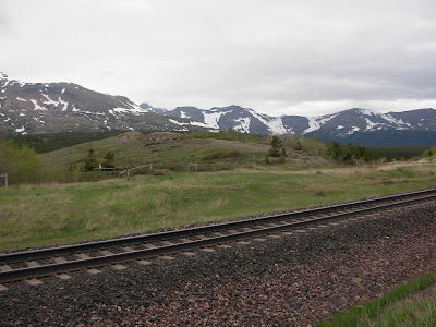
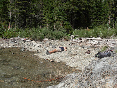
 I laid down in it.
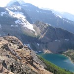

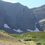
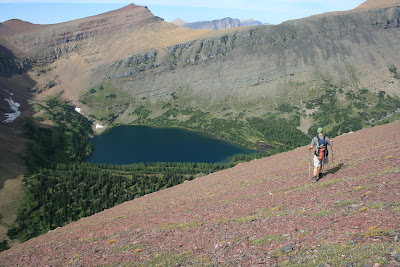
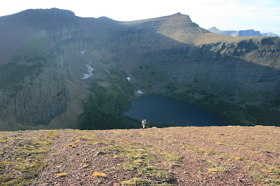
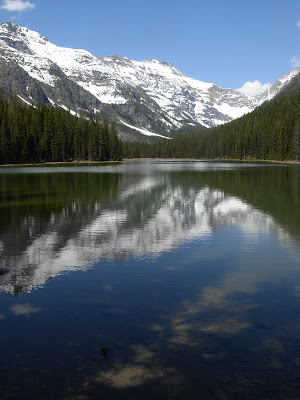
 This is Wahseeja Lake, I’m looking down on it during the Shaheeya trip.
 This is exactly what we dealt with for three thousand straight vertical feet. We started climbing up an avalanche chute that runs directly north of Lake Janet.
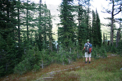
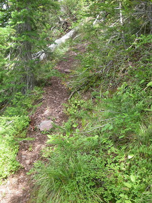
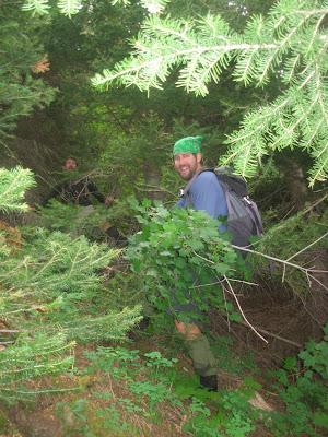
  With in minutes, we were already in tree/bushes/crud that was over our head and we had really just begun.
  It got so rough at points that I literally got on my belly and crawled under some bushes because they were so tightly woven that it was the path of least resistance.
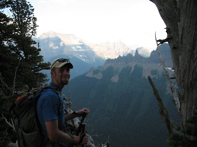
 The going kept getting steeper and steeper until we eventually hit one last thick strand of sub alpine firs and popped out right below Shaheeya Peak. Not exactly our intention, but it handed us one of the best mountain top views of my life.
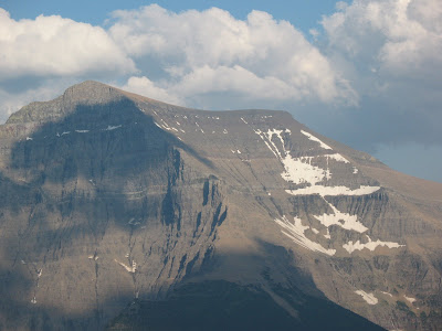

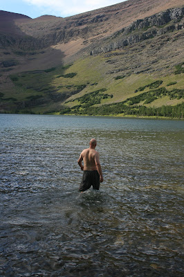
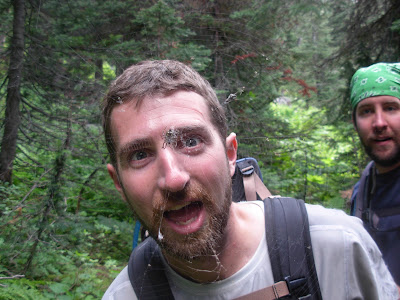
 The bugs were rough, we had to keep moving which is tough to do when you are dead tired and have to switch into some swimming trunks. Funny that no matter how hard you try, there really is no where without mosquitos. NOWHERE!!
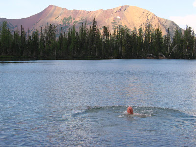

 Down we went. It was actually going quite well, we had solid rock chutes to climb on and the going was a bit easier than in the avalanche slope. Down we went……