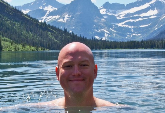

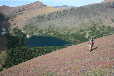
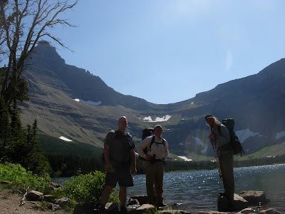
Margaret and Ipasha Lakes delivered beyond our expectation which is a tall order.
I’ve been here and working on this project for a decade now and that gives you a long time to create expectations. This area truly awed us.
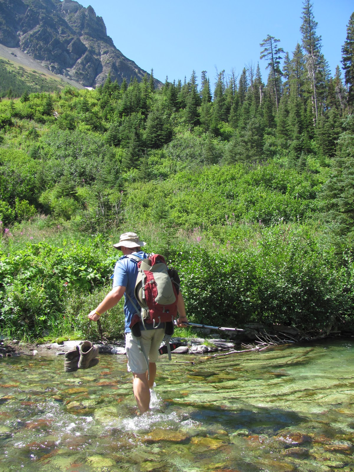
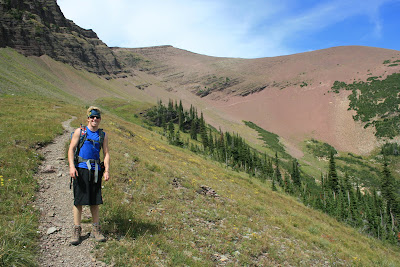
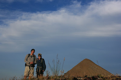
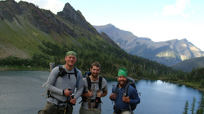
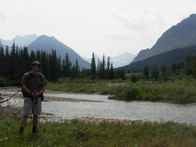
My trusty off trail companion Pat and I saw a three day weekend of hot, sunny days and decided to pounce. We hauled it in through 85 degree weather to Glenns Lake Foot Campground and posted up for two nights.

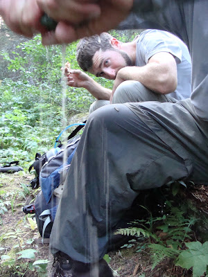
We even ended up with a little grotto to rinse off just by our campsite.
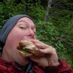
In the morning over oatmeal we decided a little whisky in our coffee couldn’t hurt anything.

Aside from ruining our already lousy coffee we felt no ill effects.

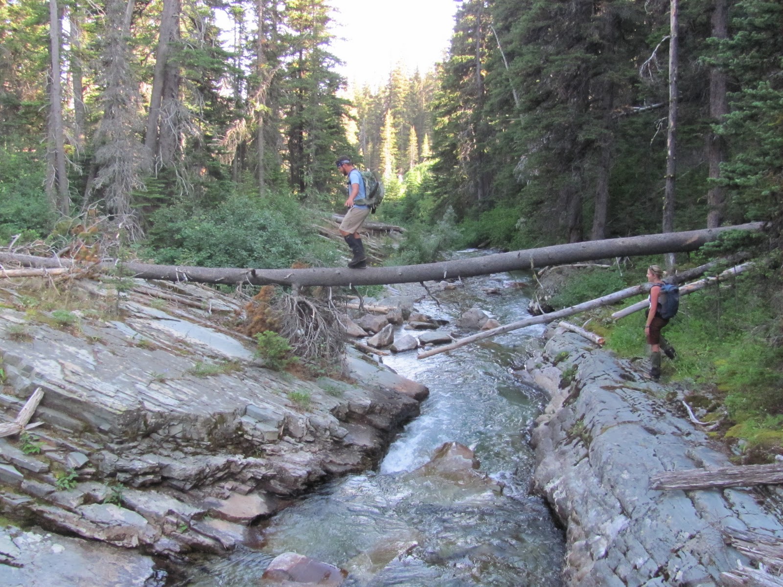
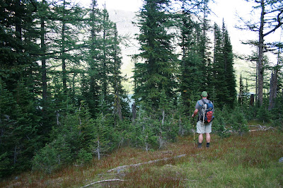
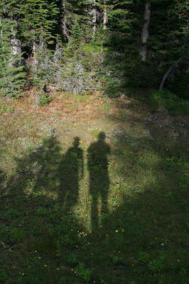
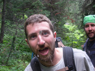
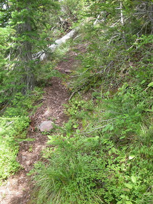
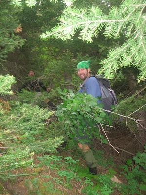
We were the first people heading up trail in the morning which brought us face to face with many a spider web, some still being staffed. Be sure to keep your mouth closed.

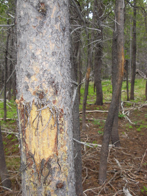
There was a great patch of grizzly bear hair on one of the DNA traps. That’s one of the best samples I’ve seen through the years.
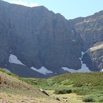
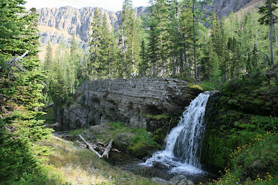
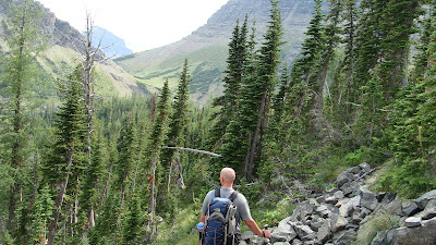
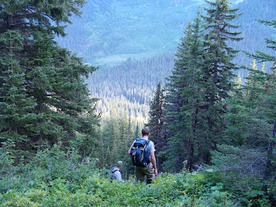
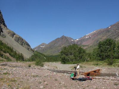
Above Mokowanis Lake we had to leave trail and continue up valley.

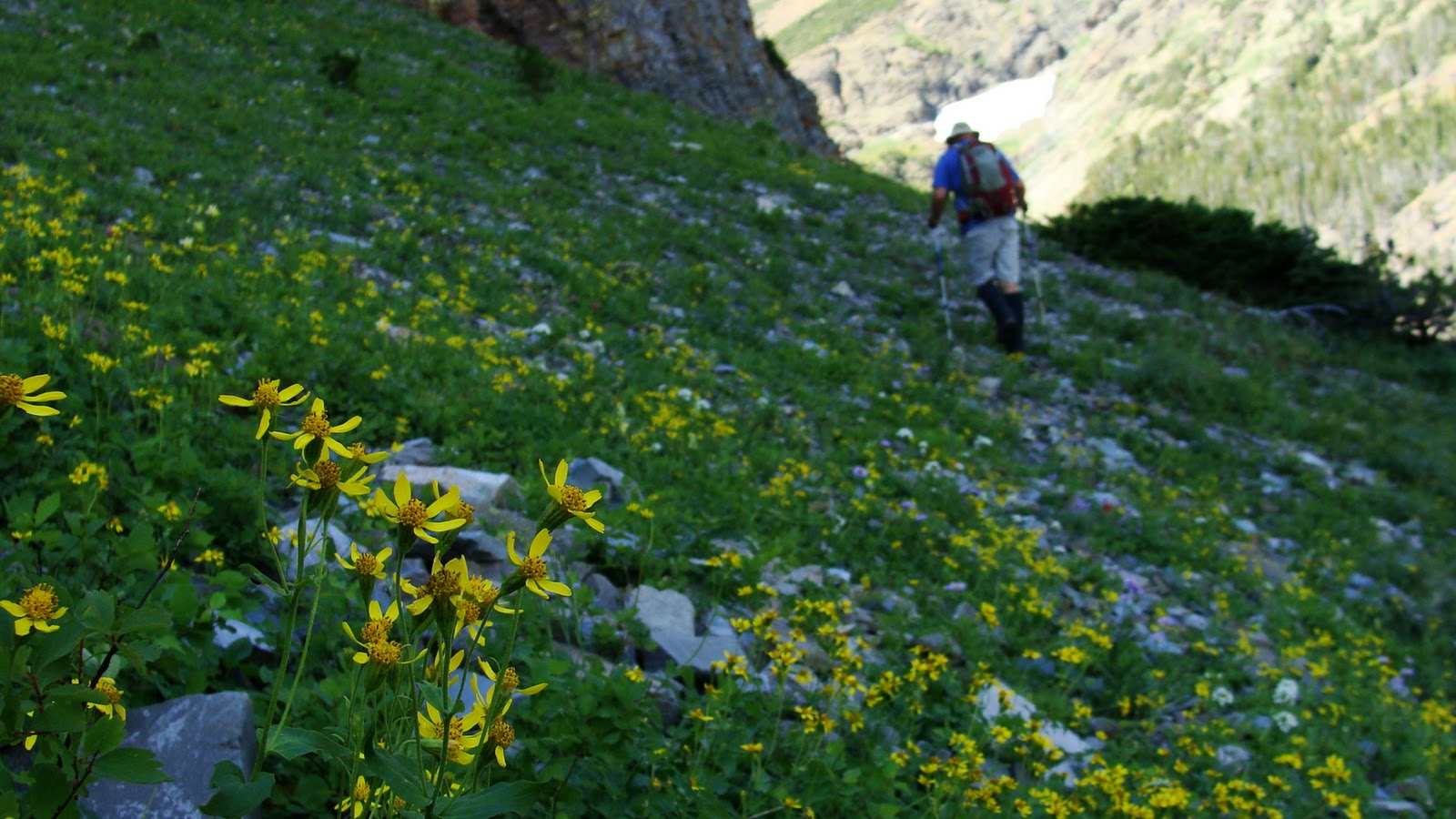
The heat was filling the waterfalls to capacity. Above those falls was the hidden treasure we had waited eons for.
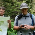
On the way we did some filming using my new Olympus OMD EM5. I’m so happy with how small but powerful it is. I hope you enjoy what it’s been producing too.

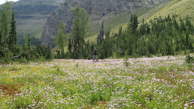
Margaret Lake simply put, punched us directly in the mouth.

There was grizzly bear digs everywhere, so we were far from alone.

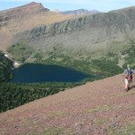
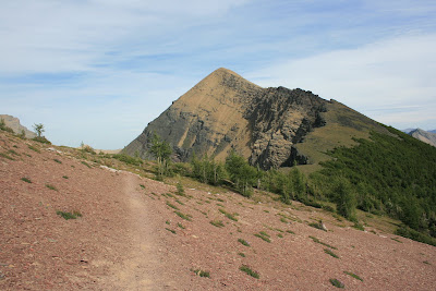
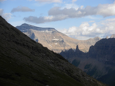
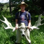
The only animals we really saw though were a group of Bighorn Sheep up on the side of Mount Merrit.

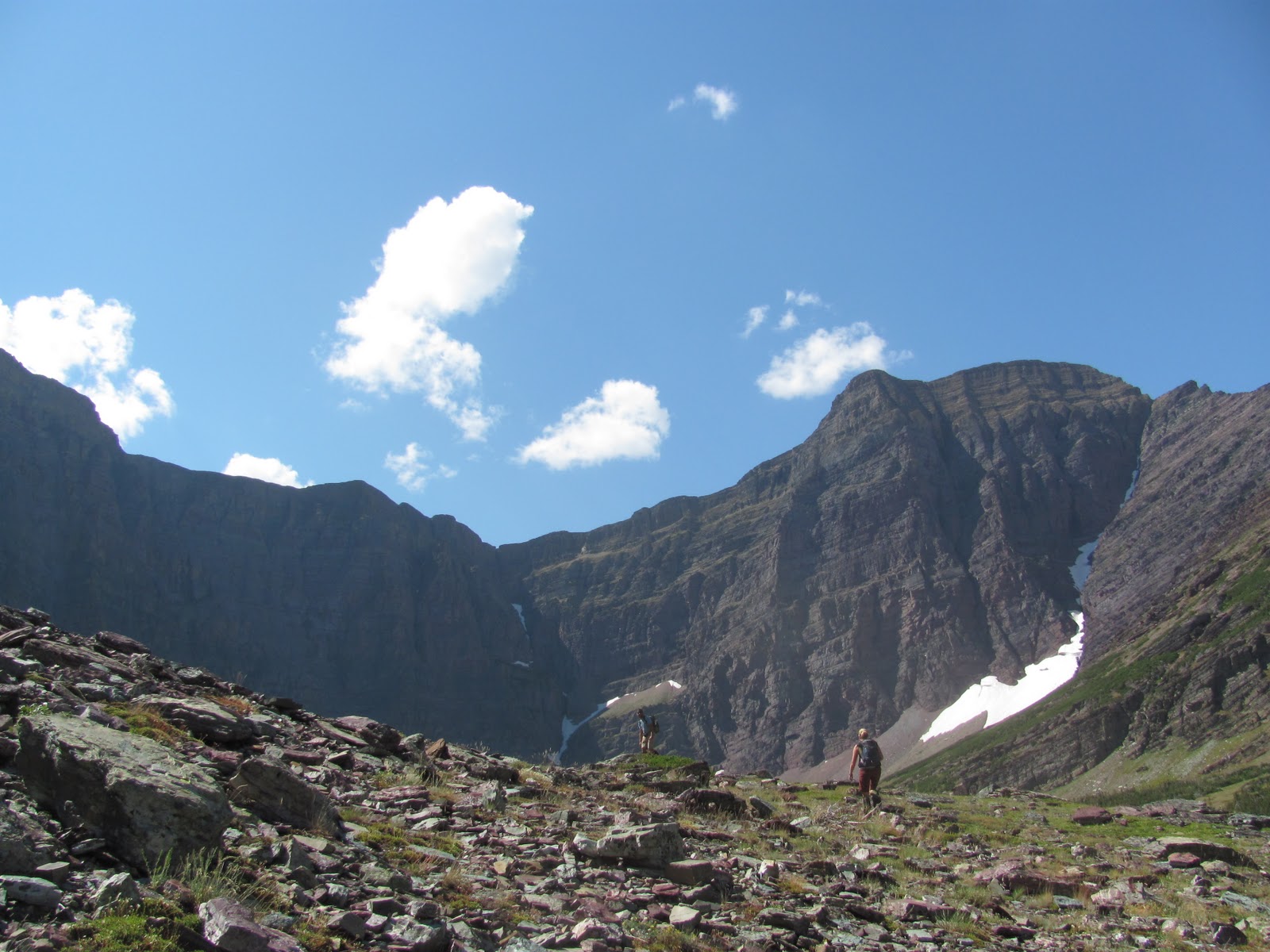
We decided it would be better to push up to Ipasha Lake so we could take our time back at Margaret.

Nothing but an hour of alder bushes and crazy thick ground cover in-between us and # 153 or # 16..

Depends on if you are counting up or down, the math gets confusing now a days.
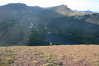
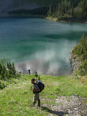
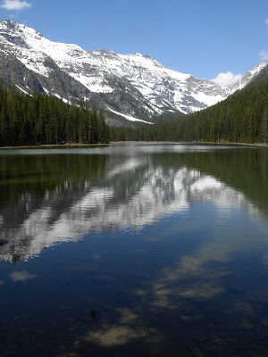
Ipasha was a beautiful body of water.

Cold and blue with chunks of ice still hanging on the walls of Ipasha Peak.

Clouds were collecting around Mt. Cleveland and seemed to be coming from the north. We decided that it might be a better idea to scoot back to Margaret Lake so we didn’t get stuck any further from camp if the sky opened up.

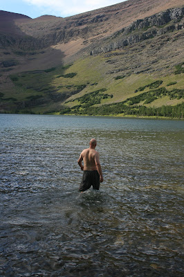
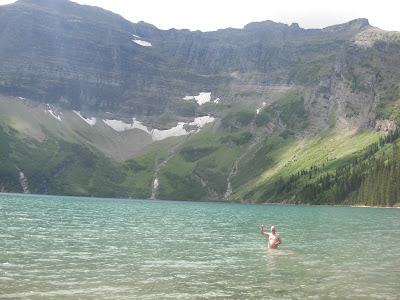
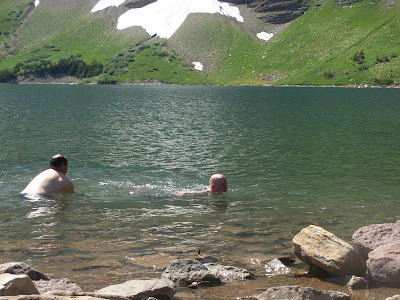
Comparing the terribly thick alder we just pushed through to the cold water of Margaret Lake, we decided it was worth trying to walk the lake.

There was a small shelf of rock that we walked which kept us out of the schwack, but it was SO COLD!! We couldn’t stay in the lake any longer than it took to find even the smallest little beach of rocks. We stopped and freaked out letting our ice cube toes melt back to flesh. Then repeated the process over and over.
It was better than the alder. Virtually anything is better than the alder…Trust me.

Pat pointed out while we were walking the lake that technically I had now been in Margaret Lake.
While that was true, there is no way that could suffice. I wanted to go swimming.
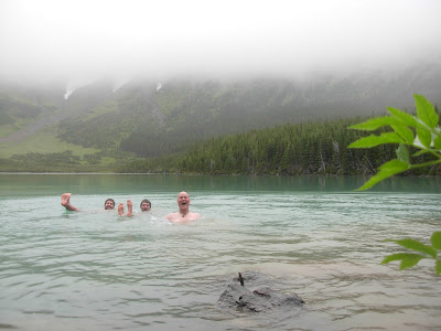
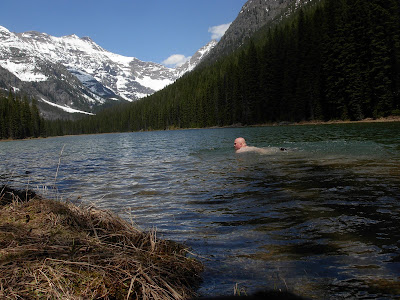
There’s an amazing point of rock that juts out into Margaret Lake but to get to it you have to ford the outlet of the lake.

The creek was moving way to quick so we actually had to wade across the lake portion so we didn’t get swept away.
It was well worth it.

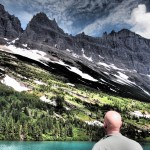
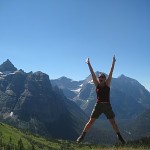
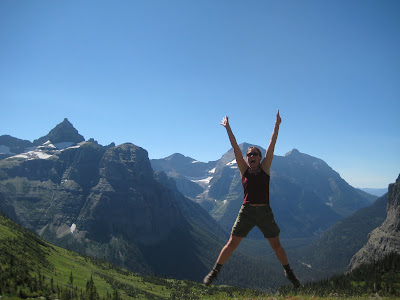
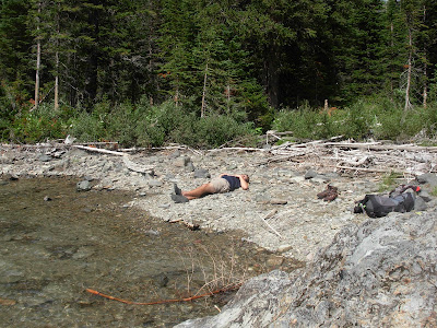
The weather had calmed down, the sun came back out and we had a perfect spot all to ourselves to take in the majesty of this seldom visited area. So many remote peaks that I’ve had to imagine this whole time.

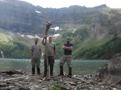
Mt. Merrit one of the six 10,000’ peaks to our left and way off to the north was Mt. Cleveland the highest point in the park. Ipasha Peak, Mt. Kipp, Pyramid Peak and the Lithoid Cusp ringed us while we jumped in water like we were in Myrtle Beach, SC.

Note to those reading, you have to be careful jumping off cliffs in life in general much less in this remote a place. Normally I just get a shore to walk into, but we had this perfect little point so we had to take advantage. Just be careful out there folks.

Sick shots though, huh? Thanks OMD EM5!

We had to eventually head out, but it was hard.

This was GOOD LIVIN’. I had tried to get to this spot for years.

I’ve even been snowed out trying to get here with my brother about five years ago.

The weather could literally been anything and it was calm, warm and inviting.

We must have been really good to a puppy or picked up the right amount of litter or something. We did not deserve how good the living was at this moment.

Can’t stay here though.

So we pushed on towards camp, undoing all of our efforts.

We headed back down the headwall towards those amazing waterfalls and a cup of red wine in camp.

The next day we more hot, sunny weather and time to kill. We did some filming at Cosley Lake.

We ate jelly beans and floated around like porpoises.

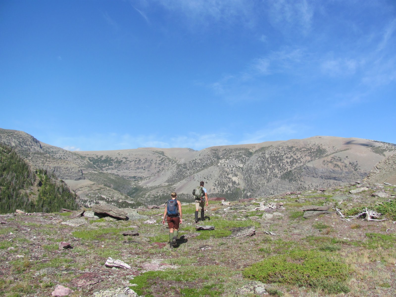
Eventually you always have to do the push out to the trailhead.

Hot is great when you have lakes everywhere, but open meadows and uphill is less pleasant.

Luckily through the years I had met the Belly River Rangers and they were able to scrounge up two cold glasses of lemonade before we headed uphill to the car.

It was a hot slog up the last few miles to the Chief Mountain Trailhead

Spectacular trip. One of the epic ones.
In moments like this trip you just wish you could snap your fingers and extend it to all your loved ones and everyone who can’t make it to places like these. I felt like this trip was a gift and its always more fun to give a gift then receive one.
Alas we have to just enjoy the moments we are given, and be thankful for them.

TO GOOD LIVIN’!!
And…TO LIFE!!


 We had to drop off of this ridge and work our way through some cliff bands, steep grass and flower filled slopes to get to the lake.
 We made our way along a huge bench above the lake and then down broken cliff bands and grassy slopes down to the lake.

 This would have been impossible if the storms moved in on us. This is one of the highest elevation lakes in the whole park.


 The light softening the colors on the peaks we were surrounded by.


 We were able to keep tradition going once again with an awesome day in late August.We completed a feat that I have only had success with once before. We got five lakes in one day. It takes putting a large effort in, but more so it takes a cluster of lakes to be able to pull that off.
 After it we walked the outlet creek to the middle lake.
 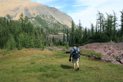 What a lovely day for a bunch of dips.
  This would have been a brutal one if it were nasty weather. Five lakes would get terribly chilly going at it in the rain.There is a nice goat trail that connects the Upper Rowe lakes trail with the upper reaches of the Rowe valley trail. It was nice because we did not have to drop that whole way back into the valley bottom.
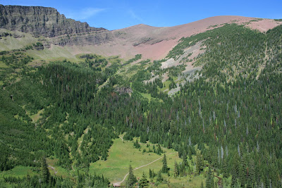


 It did work though..
 It was right above the cliffs that drain the hanging basin. They drop off into Linham Falls.
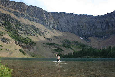

 Somewhere through the evolutionary process of most animals,. they found out that “four legs good, two legs bad” is a valuable thing to keep in mind.
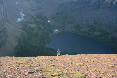
 We got out about 30 minutes after dark. Never great, but it is so much better when it’s dark and your on trail. Dark when your off trail is “No Bueno”!!!
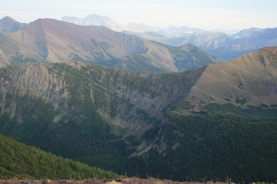


 For anyone who knows about this delicacy, you understand how happy I was to have a communal chili feed in the middle of nowhere.
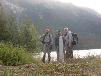 We said hello to the obelisk that marks the border and we headed west three and a half miles till we saw an entrance to a heavily wooded side valley that no one I have ever met has gone up.
 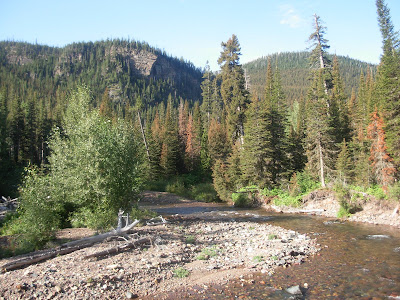 I’m sure its happened, but boy oh boy… would it be few and far between.
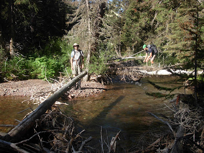 Then into the guts we go.
 That always ends and gives way to a thick tree filled mess.
 Shortly after crossing it, we finally came to the first of our objectives.
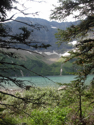

 We were essentially going from one main valley to the next, but over, under and through the middle of nowhere.
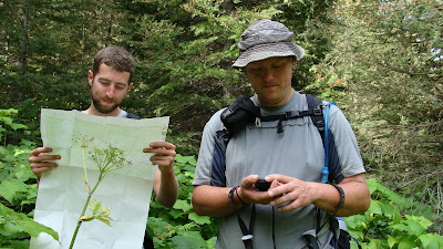
 No jumping pics.
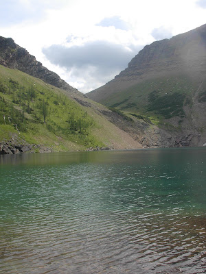
 Man that thing is nice.
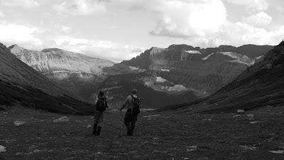


 By nightfall it was as if there were no mountains.
  Only rolling forested hills could still be seen though the white misty haze.


 It has been a bizarrely wet season. We have had over three times the normal amount of precipitation.

 In the plains they may just mow a separation.
 So, since Glacier and Waterton are on the border, there is a boundary swath running east/west and separating the park the whole way.
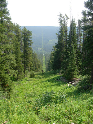

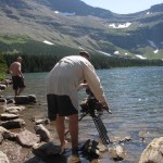
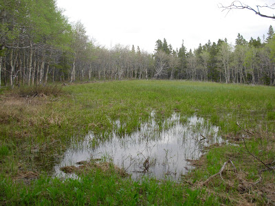
 The water is low enough now that it is safe. Earlier in the summer it would have been terrifying.
 Note* This was not the swamp, it was the swamp after it that we could walk around. I have no pic of the awful boundary swamp. I am sorry.*
 Odd feeling, for sure.
 I was surprised because many of the small, forested lakes are really not too pleasant.


 They even submerged themselves with an underwater camera and had me swim over them and swim at them. Crazy. I still can’t believe that this happened. Know?
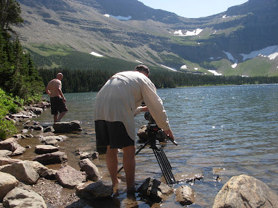 Getting out, getting back in. Getting back out again.
 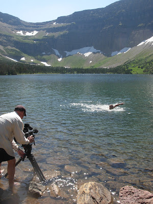 Swimming back
 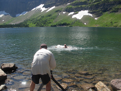 and forth and
 back again.
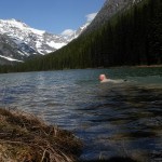

 It is the Winona and Green Lakes of the project that are my arch nemesis.
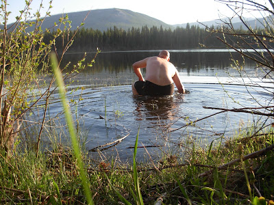
 The trail leads out of the Bowman Lake valley.
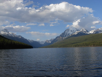 It was a perfect day, warm, clear and free of snow. The weather this May and June so far has been amazing. It was certainly one of those choice days.
 It is on a remote road in the northwest corner of the park.
  Its name used to be Mud Lake and I suppose the “powers that be” thought that was a bit unflattering.
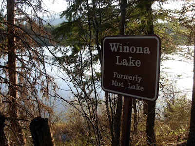 So, a while back it became Winona Lake.
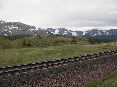
 I laid down in it.